
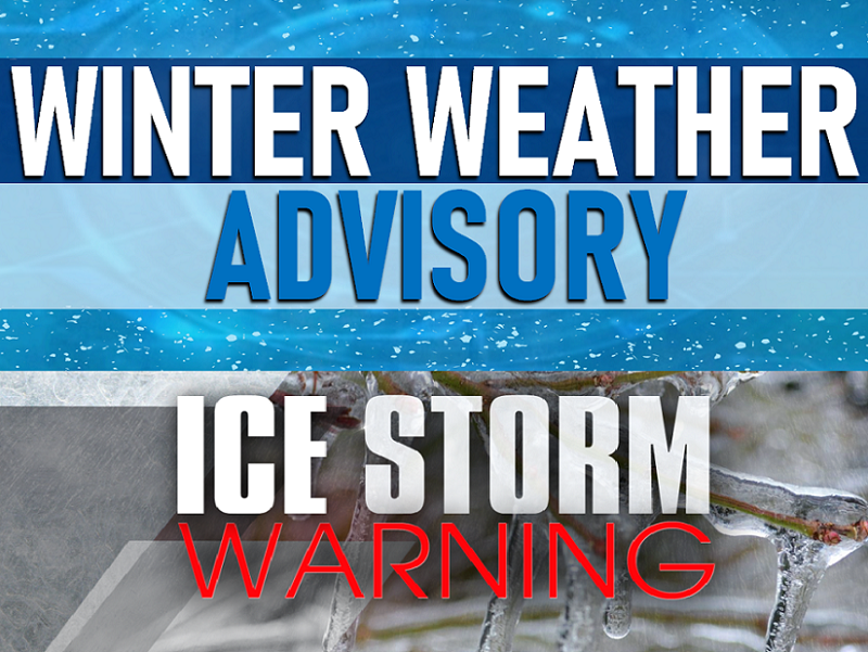
WINTER WEATHER ADVISORY/ICE STORM WARNING ISSUED FOR NORTHERN PLATEAU
Travel in the northern Cumberland Plateau will be a mess tonight into tomorrow.
The National Weather Service has issued an ICE STORM WARNING which is in effect now and is scheduled to expire tomorrow (Thursday, February 11, 2021) at 6 p.m. central. It includes the following counties on the Kentucky/Tennessee line:
CLINTON COUNTY, KENTUCKY
CUMBERLAND COUNTY, KENTUCKY
WAYNE COUNTY KENTUCKY
The National Weather Service has also issued a WINTER WEATHER ADVISORY that goes into effect at 9 p.m. central tonight (Wednesday, February 10, 2021) and is scheduled to expire at 6 p.m. tomorrow night central (Thursday, February 11, 2021). It includes the following counties in Tennessee:
SCOTT, PICKETT AND CLAY – (UPDATE – FENTRESS, MORGAN AND OVERTON ADDED TO LIST)
Motorists should use extreme caution driving in counties under the winter weather advisory. Travel is strongly discouraged in counties in the ice storm warning.
