
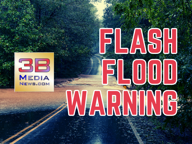
Flash Flood Warning
BULLETIN – EAS ACTIVATION REQUESTED
Flash Flood Warning
National Weather Service Nashville TN
215 PM CDT Thu Jul 20 2023
The National Weather Service in Nashville has issued a
- Flash Flood Warning for…
Eastern De Kalb County in middle Tennessee…
Southwestern Putnam County in middle Tennessee…
Northern Van Buren County in middle Tennessee…
White County in middle Tennessee… -
Until 515 PM CDT.
-
At 215 PM CDT, Doppler radar indicated thunderstorms producing
heavy rain across the warned area. Flash flooding is ongoing or
expected to begin shortly.
HAZARD…Flash flooding caused by thunderstorms.
SOURCE…Radar.
IMPACT…Flash flooding of small creeks and streams, urban
areas, highways, streets and underpasses as well as
other poor drainage and low-lying areas.
- Some locations that will experience flash flooding include…
Cookeville, Sparta, Smithville, Spencer, Baxter, Doyle, Bakers
Crossroads, Hamptons Crossroads, Burgess Falls State Park, Virgin
Falls State Natural Area, Edgar Evans State Park and Center Hill
Lake.
PRECAUTIONARY/PREPAREDNESS ACTIONS…
Turn around, don’t drown when encountering flooded roads. Most flood
deaths occur in vehicles.