
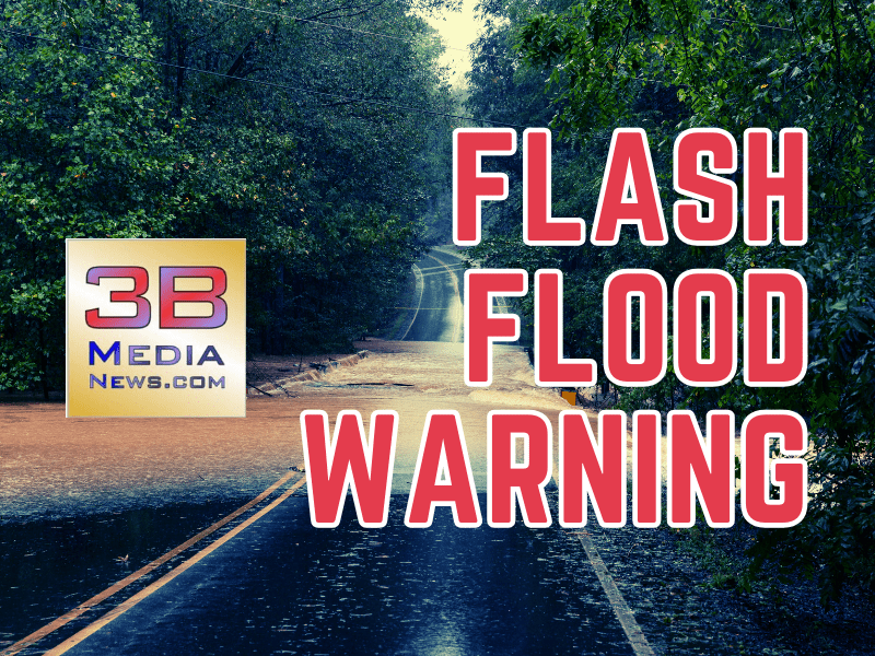
FLASH FLOOD WARNING FOR NORTHWESTERN PICKETT COUNTY
BULLETIN – EAS ACTIVATION REQUESTED
Flash Flood Warning
National Weather Service Nashville TN
4:47 AM CDT Thu Apr 3 2025
The National Weather Service in Nashville has issued a Flash Flood Warning for…Clay County in middle Tennessee…Central Jackson County in middle Tennessee…Macon County in middle Tennessee…Northwestern Overton County in middle Tennessee…Northwestern Pickett County in middle Tennessee…Northern Smith County in middle Tennessee…East Central Sumner County in middle Tennessee…Trousdale County in middle Tennessee…Northeastern Wilson County in middle Tennessee…until 10:45 AM CDT.
At 4:47 AM CDT, Doppler radar indicated thunderstorms producing heavy rain across the warned area. Flash flooding is ongoing or expected to begin shortly.
HAZARD…Flash flooding caused by thunderstorms.
SOURCE…Radar.
IMPACT…Flash flooding of small creeks and streams, urban areas, highways, streets and underpasses as well as other poor drainage and low-lying areas.
Some locations that will experience flash flooding include…Lafayette, Carthage, Celina, Gainesboro, Hartsville, Red Boiling Springs, South Carthage, Whitleyville, Pleasant Shade, Moss, Dixon Springs, Standing Stone State Park, Dickerson Chapel Recreation Area and Dale Hollow Lake.
PRECAUTIONARY/PREPAREDNESS ACTIONS…Turn around, don’t drown when encountering flooded roads. Most flood deaths occur in vehicles.
Tune to local radio to hear weather updates on 105.7 The Hog, Spirit 101.9, 94.1 The Vibe (1410 AM), 98.9 The Wolf, and 93.3 The Ranch (580 AM).
