
SUMMERLIKE HEAT GIVES WAY TO DRAMATIC WEEKEND COOL-DOWN AND STRONG WINDS
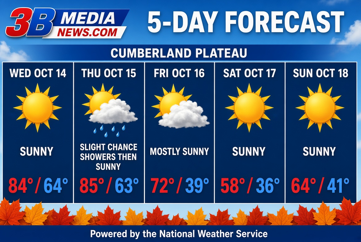
Enjoy the unseasonably warm temperatures while they last—a strong cold front heading into the weekend will bring a sharp plunge in temperatures along with gusty winds.
Midweek Warmth and Minor Precipitation Risks
Unusually warm and mostly pleasant conditions dominate through the middle of the week. Today will remain sunny and mild with highs reaching near 84°F under light winds. Overnight, patchy fog is possible between midnight and 1:00 AM, followed by a slight 20% chance of isolated showers after 4:00 AM as temperatures drop to around 64°F.
Any stray morning showers will quickly taper off before 7:00 AM on Thursday, giving way to abundant sunshine and unseasonable heat with a high topping out near 85°F. Thursday night will be mostly clear with low temperatures near 63°F.
Sharp Weekend Front and Temperature Drop
A significant weather shift arrives on Friday as a cold front moves through the region:
-
Friday: Temperatures will peak near 72°F under mostly sunny skies before strong northwest winds arrive in the afternoon. Winds will blow at 5 to 15 mph, with powerful gusts reaching up to 30 mph.
-
Friday Night: Blustery conditions continue as overnight lows tumble to 39°F. Northerly winds will stay elevated at 10 to 15 mph, gusting up to 25 mph.
-
Saturday: Full sunshine returns, but conditions will be significantly cooler. Highs will only reach near 58°F with continued breezy northerly winds gusting up to 25 mph.
-
Saturday Night: Clear skies and light winds will allow temperatures to drop to a chilly weekend low of 36°F.
Looking Ahead to Sunday
Bright, clear conditions will carry into Sunday with a high near 64°F and light winds transitioning out of the south-southeast by morning. Skies remain mostly clear Sunday night, with a low dipping to around 41°F.
