
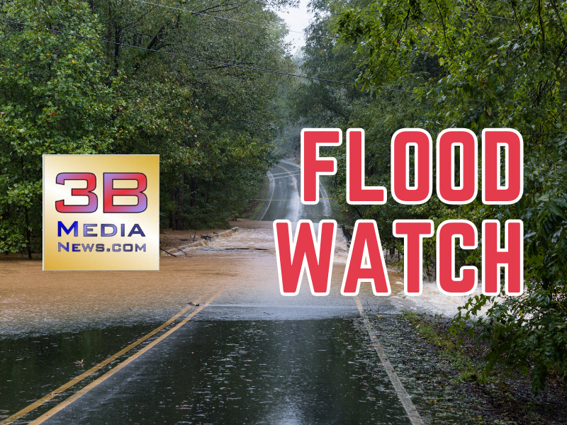
ADDITIONAL AREA COUNTIES ADDED TO FLOOD WATCH
The National Weather Service says a flood watch continues for the following counties in our area: Anderson, Bledsoe, Roane, Loudon, Morgan, Knox, Blount, Scott, Sevier, Rhea, Van Buren, McMinn, Monroe, and Meigs.
Cumberland, Fentress, Pickett, Clay, White, Putnam, Overton, and Clay County are not in the watch at this time. (as of 2:15 p.m. central, Wednesday, January 24, 2024)
The watch is in effect now and is set to expire tomorrow at 6 p.m. (January 25, 2024).
Several rounds of rain and possibly a thunderstorm will move across the plateau, Tennessee Valley, and southern Appalachians mainly this afternoon through late Thursday. Training of moderate to heavy rains combined with the already saturated ground will cause flooding. Storm total rainfall will range from 2 to 4 inches with locally heavier amounts likely.
Excessive runoff may result in flooding of rivers, creeks, streams, and low-lying and flood-prone areas.
The combination of recent snowmelt and heavy rainfall will create conditions favorable for flooding within and near the flood watch area.
Those living in areas prone to flooding should be prepared to take action should flooding develop.
Turn around, and don’t drown when encountering flooded roads. Most flood deaths occur in vehicles.
Drivers should expect ponding of water on many roadways.