

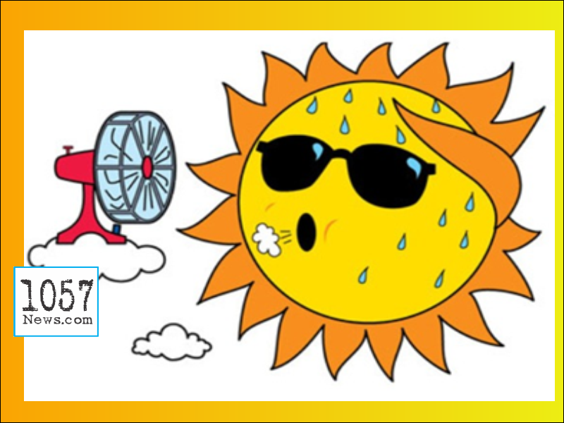
SCATTERED STORMS & HOT
We will continue to see a 50% chance of thunderstorms each afternoon with some of those getting pretty intense like the one that produced quarter-sized hail in Knox County Tuesday evening. High temper ...
SCATTERED STORMS
There are no changes in our forecast, it is going to be partly cloudy, hot and humid through the weekend and through much of next week with high temperatures in the mid-to-upper 80s and each day a 40 ...
STORMS THIS WEEKEND
Look for a low tonight near 62 degrees and then Wednesday will be another Beauty with sunshine and 85. A 30% chance of thunderstorms begins on Thursday and it goes to 50% Friday and 60% this weekend, ...
STORMS INCREASE
A few areas in southern Cumberland County picked up two inches of rain earlier tonight as a thunderstorm developed and just remained stationary for a while. Thunderstorm chances will be on the increas ...
AREA STORMS
A few thunderstorms popped up late Wednesday with one blowing down trees in the Russell Springs Kentucky area. Another storm dropped a half inch of rain on a portion of Pickett County. Another shower ...
TDH URGES TENNESSEANS TO BE CAUTIOUS DURING EXTREME HEAT AND STAY SAFE IN THE SUN
Extreme heat continues to impact the state and the Tennessee Department of Health is urging Tennesseans to follow important safety tips to avoid heat-related illnesses. ‘’Summer is usually a great ti ...
HOTTER COMING
I hope you had a great weekend, we need rain but the forecast is sunny and hotter. Monday is looking sunny and 85 after a morning low of 55. On Tuesday look for 88 under sunny skies. Wednesday we top ...
HEAT WAVE !
Crossville's high temperature today of 90° ties the record high for June 16 that was set in 1988. This gives Crossville back-to-back 90° days for the first time since July 20-21, 2020.
THE HEAT IS ON
Summer begins next Tuesday, June 21st but it is sure going to feel like summer this week with heat and humidity and a few pop-up thunderstorms from time to time. High temperatures are going to be arou ...
GETTING HOTTER
Partly cloudy Sunday with a high around 85. Monday will be around 92 degrees with a slight chance of a pop-up Thunder shower. Most of next week we'll see highs near 90 and chances of afternoon and eve ...
HEAT BEGINS SUNDAY
We have a 50% chance of a shower or thunderstorm popping up on Friday and Friday evening and then chances drop to 20% Saturday and the Heat wave begins on Sunday. Temperatures next week will be hittin ...
3 and 1/2 inches, more to come
The Crossville area has picked up an incredible 3 and a half inches of rain in the past 24 hours and there are several more rounds to come of heavy showers and thunderstorms with one round possible ne ...