BULLETIN - EAS ACTIVATION REQUESTED
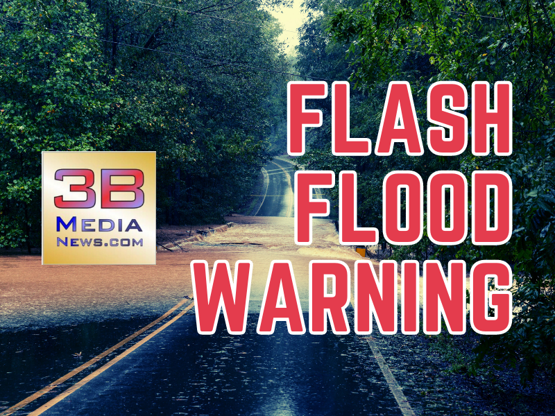
Flash Flood Warning
National Weather Service Nashville TN
1054 AM CDT Wed May 8 2024
The National Weather Service in Nashville has issued a
* Flash Flood Warning for...
Jackson County in middle Tennessee...
Overton County in middle Tennessee...
Putnam County in middle Tennessee...
* Until 200 PM CDT.
* At 1054 AM CDT, Doppler radar indicated thunderstorms producing
heavy rain across the warned area. Between 1 and 2 inches of rain
have fallen. Flash flooding is ongoing or expected to begin
shortly.
HAZARD...Flash flooding caused by thunderstorms.
SOURCE...Radar.
IMPACT...Flash flooding of small creeks and streams, urban
areas, highways, streets and underpasses as well as
other poor drainage and low-lying areas.
* Some locations that will experience flash flooding include...
Cookeville, Livingston, Gainesboro, Algood, Monterey, Baxter,
Rickman, Cummins Falls State Park, Crawford and Granville.
PRECAUTIONARY/PREPAREDNESS ACTIONS...
Turn around, don't drown when encountering flooded roads. Most flood
deaths occur in vehicles.
Be aware of your surroundings and do not drive on flooded roads.
--------------------------------------------------------------------
The National Weather Service in Morristown has issued a

* Flash Flood Warning for...
  Central Loudon County in east Tennessee...
  Northeastern Meigs County in east Tennessee...
  Northeastern Rhea County in east Tennessee...
  Southern Roane County in east Tennessee...

* Until 300 PM EDT.

* At 101 PM EDT, Doppler radar indicated thunderstorms producing
  heavy rain across the warned area. Between 2 and 3 inches of rain
  have fallen. Flash flooding is ongoing or expected to begin
  shortly.

  HAZARD...Flash flooding caused by thunderstorms.

  SOURCE...Radar.

  IMPACT...Flash flooding of small creeks and streams, urban
           areas, highways, streets and underpasses as well as
           other poor drainage and low-lying areas.

* Some locations that will experience flash flooding include...
  Oak Ridge, Lenoir City, Kingston, Loudon, Fairview, Spring City,
  Paint Rock, Ten Mile, Bradbury, Eagle Furnace, Peakland and
  Grandview.

PRECAUTIONARY/PREPAREDNESS ACTIONS...

Move to higher ground now. Act quickly to protect your life.

Be aware of your surroundings and do not drive on flooded roads.

Please report observed flooding to local emergency services or law
enforcement and request they pass this information to the National
Weather Service when you can do so safely.