
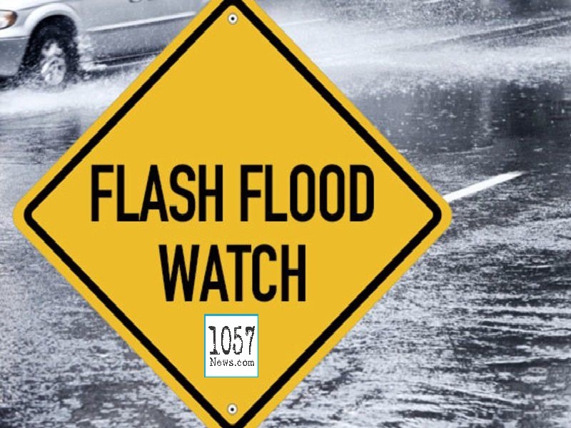
FLASH FLOOD WATCH ISSUED BY NATIONAL WEATHER SERVICE
The National Weather Service in Morristown has issued a FLASH FLOOD WATCH for the following counties in Tennessee:
Anderson, Bledsoe, Blount, Bradley, Cumberland, Fentress, Knox, Loudon, McMinn, Meigs, Morgan, Monroe, Overton, Pickett, Putnam, Rhea, Roane, Scott, Sequatchie and White.
The watch goes into effect this evening (Wednesday, October 28, 2020) until tomorrow afternoon (Thursday, October 29, 2020).
Periods of heavy rainfall are expected across the area in association with remnants from Hurricane Zeta as it moves further inland. Rainfall amounts of 2 to 3 inches are expected with isolated totals in excess of 4 inches possible.
Motorists are asked to use extreme caution in their travels.