
MILD SUMMER-LIKE WARMTH GIVES WAY TO A SHARP AUTUMN CHILL WITH WEEKEND BREEZES
Residents are set to experience a dramatic shift in weather over the next few days, transitioning from unseasonably warm conditions into a crisp, autumn-like cool down.
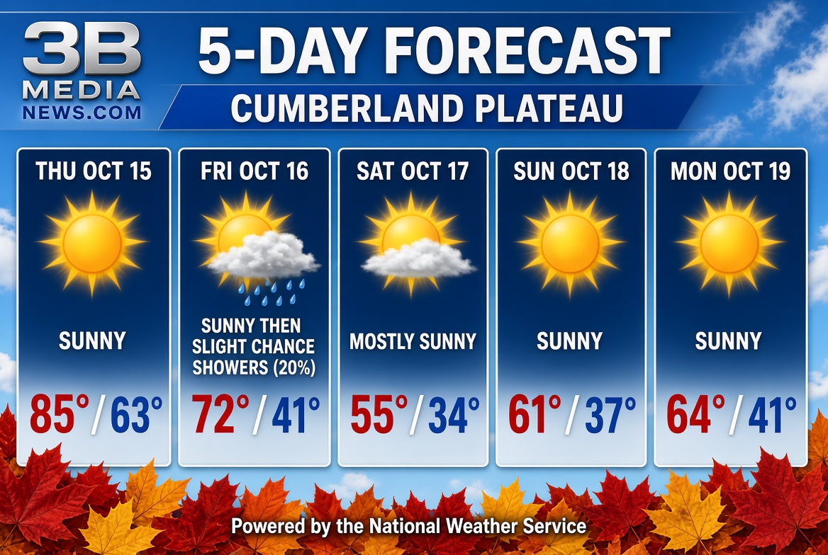
The week kicks off on a warm note today with abundant sunshine and a high reaching an unseasonably warm 85 degrees with light winds. Clear skies continue into tonight with a comfortable low around 63 degrees.
However, a significant change arrives on Friday. After temperatures briefly peak near 72 degrees by late morning, a cold front will push through, sending temperatures tumbling down to around 56 degrees for the afternoon. Friday also brings a slight 20% chance of late-day showers after 4:00 PM alongside shifting northwest winds gusting up to 25 mph.
The chill deepens heading into the weekend:
-
Friday Night: Skies turn mostly cloudy as overnight lows plunge to a brisk 41 degrees with lingering gusty winds.
-
Saturday: Expect mostly sunny skies but a much cooler day, struggling to reach a high of only 55 degrees accompanied by brisk north-northeast gusts up to 25 mph.
-
Saturday Night: Clear skies will allow temperatures to tumble near freezing, with a low dipping down to 34 degrees.
Quiet and sunny weather returns for Sunday and Monday, with daytime highs steadily recovering from 61 degrees on Sunday to 64 degrees on Monday, though nights will remain cold with lows in the mid-to-upper 30s.
