

RAIN SUNDAY
A big rain system is on the way to Tennessee and we will see that beginning toward morning and continuing during the day with up to 2 inches of rainfall possible Sunday. We will get back to clearing s ...
RAIN AND WARMER SUNDAY
We will start your Friday with temperatures in the single digits in many areas and only climbing to the twenties for the afternoon but we do expect a clearing Trend as the day goes on. Temperatures dr ...
9 DEGREES TONIGHT
Snowfall reports across middle and East Tennessee are generally ranging from 2 to 5 inches and it will be off and on into the early part of tonight. Overnight lows will drop to near nine Degrees and t ...
WINTER STORM
...WINTER STORM WARNING IN EFFECT FROM 9 AM TO 9 PM CST THURSDAY... WHAT...Heavy snow expected. Total snow accumulations of 2 to 4 inches, with locally higher amounts possible. W ...

SNOW AND COLD COMING
A winter weather advisory will go into effect at 9 a.m. in the morning and continue until 9 p.m. tomorrow night for the potential of anywhere from 2 to 5 inches of snow. The Advisory could be upgraded ...
WINTER STORM POSSIBLE
Temperature readings Tuesday Morning dropped to 16 degrees in parts of Van Buren, Cumberland and Fentress Counties. We expect to beat That by Friday morning with temperatures near 10 degrees ! We are ...
40s NEXT TWO DAYS
Highs will be in the mid-forties on Tuesday and Wednesday with sunshine and the next weather maker will come Thursday with a chance of rain and snow. The winter storm over the past 24 hours brought 5 ...
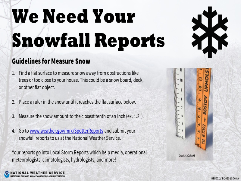
NATIONAL WEATHER SERVICE REQUESTS SNOWFALL TOTALS
Send your reports to: http://weather.gov/mrx/sp Send your reports and snow pictures to: [email protected]
SNOW HAS ARRIVED
The snow has arrived in Cumberland County my friends and drive with care if your going to be out during the late night and early morning hours with several inches expected to cause slick spots. We wil ...
SNOW TONIGHT
The weather service has issued a winter weather advisory for tonight for 1 to 3 inches of snow for the northern plateau and Southern Kentucky. Snow is starting to fall Across the Western part of Middl ...
RECORD HIGH TODAY / SNOW POSSIBLE NEXT
The threat of severe weather is over but rain will continue off and on into the early morning and we have already had around 2 inches in Crossville. As one of the heavier thunderstorms moved through t ...
TORNADO WATCH TILL 7PM
A tornado watch is in effect until 7 p.m. this evening and it covers everything from Oak Ridge West through Crossville back to Nashville. Storms are moving through Middle Tennessee with gusts up to 50 ...