
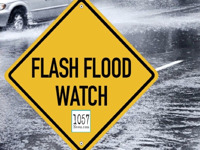
NATIONAL WEATHER SERVICE ISSUES FLASH FLOOD WATCH
The National Weather Service has issued a FLASH FLOOD WATCH for the following counties:
ANDERSON, BLOUNT, KNOX, MORGAN, ROANE, AND SCOTT
The watch goes into effect Thursday, July 1, 2021 at 8 a.m. eastern and is set to expire at 8 a.m. eastern Friday, July 2, 2021.
At this time (2:10 p.m. central, June 30, 2021) Cumberland, Pickett, Fentress, Overton, Putnam, White, Van Buren, Rhea, Loudon, McMinn and Meigs counties are not in the watch area.
A slow moving cold front will produce widespread showers and thunderstorms from Thursday morning through Friday morning. Rainfall amounts of 1 to 3 inches will be common, but 4 to 5 inches is possible. This will likely result in some flash flooding.
Turn around, don`t drown when encountering flooded roads. Most flood deaths occur in vehicles.