
NEW TORNADO WARNING ISSUED
BULLETIN – EAS ACTIVATION REQUESTED
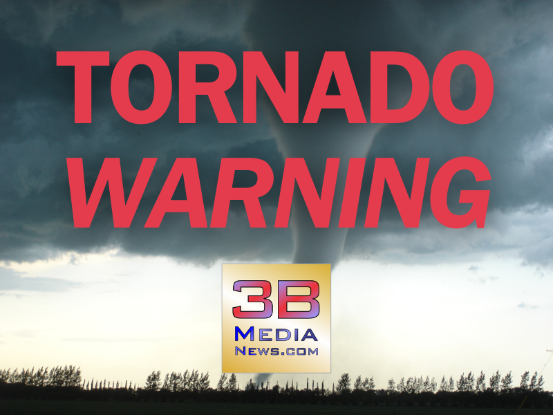
Tornado Warning
National Weather Service Nashville TN
809 PM CDT Wed May 8 2024
The National Weather Service in Nashville has issued a
* Tornado Warning for…
Northern Cumberland County in Middle Tennessee…
Southwestern Fentress County in Middle Tennessee…
* Until 845 PM CDT.
* At 808 PM CDT, a severe thunderstorm capable of producing a tornado
was located 9 miles north of Crossville, moving east at 30 mph.
HAZARD…Tornado.
SOURCE…Radar indicated rotation.
IMPACT…Flying debris will be dangerous to those caught without
shelter. Mobile homes will be damaged or destroyed.
Damage to roofs, windows, and vehicles will occur. Tree
damage is likely.
* This tornadic thunderstorm will remain over mainly rural areas of
northern Cumberland and southwestern Fentress Counties, including
the following locations… Slate Springs and Clarkrange.
This includes Interstate 40 between mile markers 311 and 319.
PRECAUTIONARY/PREPAREDNESS ACTIONS…
TAKE COVER NOW! Move to a basement or an interior room on the lowest
floor of a sturdy building. Avoid windows. If you are outdoors, in a
mobile home, or in a vehicle, move to the closest substantial shelter
and protect yourself from flying debris.
&&
LAT…LON 3598 8516 3612 8514 3613 8513 3614 8510
3614 8512 3616 8511 3621 8491 3618 8490
3615 8491 3613 8487 3608 8483 3610 8482
3609 8480 3605 8479 3599 8472
TIME…MOT…LOC 0108Z 261DEG 25KT 3608 8507
TORNADO…RADAR INDICATED
MAX HAIL SIZE…<.75 IN
