
RAIN COMES WEDNESDAY
Looks like Tuesday’s going to be a better day with some clearing and we climb into the low 40s. I think rain will become likely
LOTS OF COLD AHEAD
Snow showers tonight with a low near 20 degrees. A few snow showers will Linger on Monday and we will only be around 32 degrees.
BAD WEATHER NEXT 24 HOURS
It is going to be windy and cold this afternoon and tonight with precipitation continuing and road conditions getting worse for the next 24 hours.
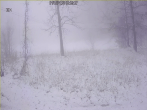
THE DIFFERENCE A DEGREE OR TWO CAN MAKE IN SNOW FORECAST
While attempting to be as accurate as possible in predicting the snowfall we are all anticipating, the National Weather Service has been actively discussing how
SNOW AMOUNTS WILL VARY GREATLY
I have never seen a bigger spread on the predicted accumulation of snow for this area in the official Weather Service forecast. You cannot hardly
SOME MAY GET THUNDERSNOW
We will spend Sunday under a winter storm warning with snow likely throughout the day. Estimating snow Amounts is very difficult because so many ingredients
WINTER STORM FOR SUNDAY
A winter storm warning is in effect from midnight tonight through midnight Sunday night for the potential of 5 to 11 inches of snow, that
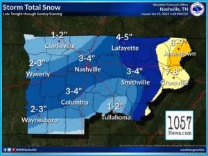
SATURDAY AFTERNOON WINTER STORM UPDATE FROM NATIONAL WEATHER SERVICE-NASHVILLE
SATURDAY AFTERNOON WINTER STORM UPDATE: To say this is a difficult forecast is the understatement of the year, and it’s January. Please read carefully! What
SNOWY SUNDAY LIKELY
We still have that winter storm watch hanging over us for Saturday night and Sunday for the potential of 5 to 8 inches of snow
PREPARE, SNOW COMING
Get everything done and be prepared for winter weather this weekend with the worst probably coming Saturday night and Sunday but you are not going
RAIN AND SNOW THIS WEEKEND
We have a weather system coming up this weekend that the weather service is calling a nightmare to forecast because the models are in big
SUNSHINE AHEAD
Not much to talk about with sunny days and clear nights through Wednesday and Thursday with high temperatures near 40 on Tuesday and then 48

RAIN COMES WEDNESDAY
Looks like Tuesday's going to be a better day with some clearing and we climb into the low 40s. I think rain will become likely on Wednesday and we will climb into the upper 40s and melt most of the s ...
LOTS OF COLD AHEAD
Snow showers tonight with a low near 20 degrees. A few snow showers will Linger on Monday and we will only be around 32 degrees. We drop to the upper teens Monday night with precipitation ending compl ...
BAD WEATHER NEXT 24 HOURS
It is going to be windy and cold this afternoon and tonight with precipitation continuing and road conditions getting worse for the next 24 hours. The low temperature tonight will be around 19 degrees ...
THE DIFFERENCE A DEGREE OR TWO CAN MAKE IN SNOW FORECAST
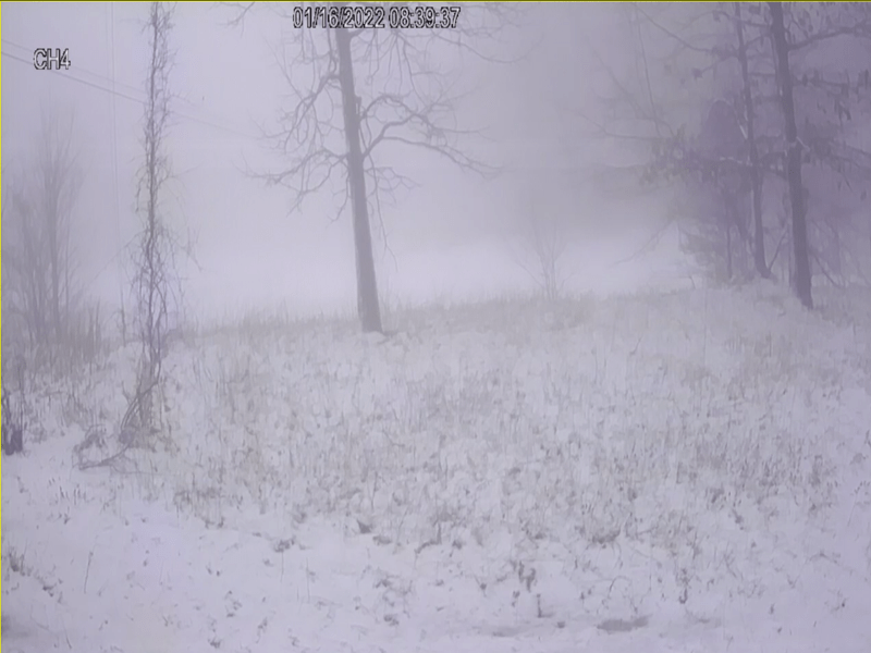
While attempting to be as accurate as possible in predicting the snowfall we are all anticipating, the National Weather Service has been actively discussing how the elevation and temperature can affec ...
SNOW AMOUNTS WILL VARY GREATLY
I have never seen a bigger spread on the predicted accumulation of snow for this area in the official Weather Service forecast. You cannot hardly go wrong with this prediction and it is hard to believ ...
SOME MAY GET THUNDERSNOW
We will spend Sunday under a winter storm warning with snow likely throughout the day. Estimating snow Amounts is very difficult because so many ingredients go into it but right now the weather servic ...
WINTER STORM FOR SUNDAY
A winter storm warning is in effect from midnight tonight through midnight Sunday night for the potential of 5 to 11 inches of snow, that is the latest from the Weather Service. It currently looks lik ...
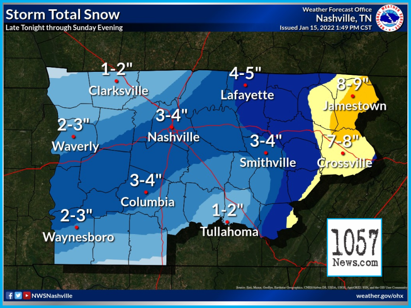
SATURDAY AFTERNOON WINTER STORM UPDATE FROM NATIONAL WEATHER SERVICE-NASHVILLE
SATURDAY AFTERNOON WINTER STORM UPDATE: To say this is a difficult forecast is the understatement of the year, and it's January. Please read carefully! What makes this forecast so difficult? Weathe ...
SNOWY SUNDAY LIKELY
We still have that winter storm watch hanging over us for Saturday night and Sunday for the potential of 5 to 8 inches of snow and the models continue to be very impressive to show the moisture and co ...
PREPARE, SNOW COMING
Get everything done and be prepared for winter weather this weekend with the worst probably coming Saturday night and Sunday but you are not going to want to be out on the road I am pretty sure. Right ...
RAIN AND SNOW THIS WEEKEND
We have a weather system coming up this weekend that the weather service is calling a nightmare to forecast because the models are in big disagreement on it but it does look like we will get rain and ...
SUNSHINE AHEAD
Not much to talk about with sunny days and clear nights through Wednesday and Thursday with high temperatures near 40 on Tuesday and then 48 on Wednesday. We could see rain showers and snow showers sc ...
