

FROZEN PRECIP A THREAT
There is a chance of light rain mixed with Light freezing rain and a little snow late tonight and early Saturday and could cause some
NO MILD WEATHER FOR TEN DAYS
I hope you are a winter weather lover because I have lots to talk about during the next 5 to 7 days. Friday is going
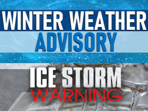
WINTER WEATHER ADVISORY/ICE STORM WARNING ISSUED FOR NORTHERN PLATEAU
Travel in the northern Cumberland Plateau will be a mess tonight into tomorrow. The National Weather Service has issued an ICE STORM WARNING which is
RAIN LIKELY BY WEDNESDAY NIGHT
Scattered showers possible Wednesday with highs 55 to 60 degrees. Rain likely Wednesday night and Thursday for our area but West and north of Nashville
SUNNY AND WARMER
The northern Cumberland Plateau just had the biggest winter storm that we have seen in the last 10 years with 4 to 7 inches of
ROAD CONDITION/CLOSINGS REPORT – SUNDAY A.M., FEBRUARY 7, 2021
(This report was updated 10 a.m. central Sunday, February 7, 2021) Up to 5 inches of snow fell on the plateau from late last night
SNOW MOVING OUT, POWER OUTAGES
With the heavy wet snow that has fallen across the plateau, over 2,000 people are without power in Cumberland County and over 800 in Fentress
SNOW TONIGHT, 50 DEGREES BY MONDAY
Rain developing across Tennessee this evening will mix with and then change to snow overnight with most of the snow falling between 1 and 7
SNOW POSSIBLE SATURDAY NIGHT
A chance of showers for your Saturday afternoon with a high in the 40s. Rain turning to snow Saturday night with accumulation of an inch
WIND, RAIN AND SNOW POSSIBLE
Clouds will move in for your Thursday with highs in the 40s and then we have wind, rain and snow coming Thursday night with wind
WORRIED ABOUT NEXT WEEK
A few snow showers and flurries will linger tonight and into early Tuesday with temperatures near 22 degrees for the low. Becoming partly sunny Tuesday
FROZEN PRECIP A THREAT
There is a chance of light rain mixed with Light freezing rain and a little snow late tonight and early Saturday and could cause some slick spots on area roads so be very careful if you have any drivi ...

NO MILD WEATHER FOR TEN DAYS
I hope you are a winter weather lover because I have lots to talk about during the next 5 to 7 days. Friday is going to be a Cloudy cold day with a high near 40. Friday night and Saturday Morning Rain ...
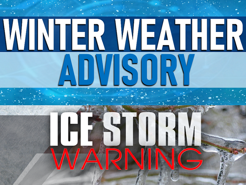
WINTER WEATHER ADVISORY/ICE STORM WARNING ISSUED FOR NORTHERN PLATEAU
Travel in the northern Cumberland Plateau will be a mess tonight into tomorrow. The National Weather Service has issued an ICE STORM WARNING which is in effect now and is scheduled to expire tomorrow ...
RAIN LIKELY BY WEDNESDAY NIGHT
Scattered showers possible Wednesday with highs 55 to 60 degrees. Rain likely Wednesday night and Thursday for our area but West and north of Nashville there could be ice so if you have travel plans y ...
SUNNY AND WARMER
The northern Cumberland Plateau just had the biggest winter storm that we have seen in the last 10 years with 4 to 7 inches of snow measured from northern Bledsoe through Cumberland all the way into t ...

ROAD CONDITION/CLOSINGS REPORT – SUNDAY A.M., FEBRUARY 7, 2021
(This report was updated 10 a.m. central Sunday, February 7, 2021) Up to 5 inches of snow fell on the plateau from late last night until around sunrise this morning. Clarkrange reportedly received 6 ...
SNOW MOVING OUT, POWER OUTAGES
With the heavy wet snow that has fallen across the plateau, over 2,000 people are without power in Cumberland County and over 800 in Fentress County where 6 inches is reported in Jamestown. The winter ...
SNOW TONIGHT, 50 DEGREES BY MONDAY
Rain developing across Tennessee this evening will mix with and then change to snow overnight with most of the snow falling between 1 and 7 a.m. And accumulation of 1 to 3 inches possible where the we ...
SNOW POSSIBLE SATURDAY NIGHT
A chance of showers for your Saturday afternoon with a high in the 40s. Rain turning to snow Saturday night with accumulation of an inch or two a possibility and lows in the upper twenties so there co ...
WIND, RAIN AND SNOW POSSIBLE
Clouds will move in for your Thursday with highs in the 40s and then we have wind, rain and snow coming Thursday night with wind gusting over 40 miles an hour possible and up to 1/2 inch of snow so en ...
WORRIED ABOUT NEXT WEEK
A few snow showers and flurries will linger tonight and into early Tuesday with temperatures near 22 degrees for the low. Becoming partly sunny Tuesday afternoon with a high near 38. We expect to clim ...