
FROST AND FREEZE
Our weather is headline with a freeze warning for tonight with temperatures dipping into the upper 20s, be sure and protect those plants and flowers
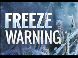
FREEZE WARNING AND FROST ADVISORY ISSUED FOR COVERAGE AREA
The National Weather Service has issued a FREEZE WARNING for: CUMBERLAND, PICKETT, PUTNAM, OVERTON, FENTRESS and WHITE COUNTY The warning is from 1 a.m. until

NATIONAL WEATHER SERVICE ISSUES FREEZE WATCH FOR CUMBERLAND PLATEAU
The National Weather Service has issued a FREEZE WATCH for parts of the coverage area including the counties of: CUMBERLAND, CLAY, PICKETT, PUTNAM, OVERTON, FENTRESS.

SEVERE THUNDERSTORM WATCH ISSUED FOR CUMBERLAND PLATEAU
The National Weather Service has issued a SEVERE THUNDERSTORM WATCH in effect now until 8 p.m. central time tonight (Sunday, May 3, 2020) for the
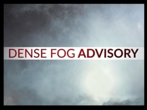
DENSE FOG ADVISORY ISSUED FOR PART OF COVERAGE AREA
The National Weather Service has issued a Dense Fog Advisory until 9 a.m. central time this morning (Monday, April 27, 2020) for the following counties:
MILD BUT WINDY FRIDAY
We are going to see one more morning with a chance of frost as temperatures drop into the upper 30s tonight and Friday morning. I
FREEZE WARNING ISSUED AGAIN FOR CUMBERLAND PLATEAU AREA
The National Weather Service has issued a freeze warning for the counties of Cumberland, Pickett, Clay, Putnam, Overton, Fentress and White. The warning goes into
FREEZE WARNING IN EFFECT FOR PART OF COVERAGE AREA
The National Weather Service has issued a FREEZE WARNING for the following counties from 3 a.m. until 7 a.m. Wednesday, April 15, 2020: CUMBERLAND, FENTRESS,

NATIONAL WEATHER SERVICE: CROSSVILLE SETS RECORD DAILY RAINFALL AMOUNT
The National Weather Service says Crossville set a record daily rainfall of 4.17″ yesterday (Sunday. April 12, 2020), breaking the previous record of 1.60″ set
FLOOD ADVISORY ISSUED FOR EMORY RIVER INVOLVING MORGAN AND ROANE COUNTIES
The National Weather Service has issued a FLOOD ADVISORY for the Emory River at Oakdale affecting Morgan and Roane counties. Heavy rain by this evening
TWO ROUNDS OF SEVERE WEATHER LIKELY EASTER DAY FOR COVERAGE AREA
(This is an update to the severe weather story featured yesterday) The National Weather Service says severe thunderstorms with damaging winds of 60-75 m.p.h., large

WIND ADVISORY IN EFFECT FOR PART OF COVERAGE AREA
The National Weather Service has issued a WIND ADVISORY from 10 a.m. central time Sunday, April 12, 2020 until 7 a.m. Monday, April 13, 2020

FROST AND FREEZE
Our weather is headline with a freeze warning for tonight with temperatures dipping into the upper 20s, be sure and protect those plants and flowers very good because this could be a killer for them. ...

FREEZE WARNING AND FROST ADVISORY ISSUED FOR COVERAGE AREA
The National Weather Service has issued a FREEZE WARNING for: CUMBERLAND, PICKETT, PUTNAM, OVERTON, FENTRESS and WHITE COUNTY The warning is from 1 a.m. until 9 a.m. tomorrow morning (Saturday, May ...
NATIONAL WEATHER SERVICE ISSUES FREEZE WATCH FOR CUMBERLAND PLATEAU
The National Weather Service has issued a FREEZE WATCH for parts of the coverage area including the counties of: CUMBERLAND, CLAY, PICKETT, PUTNAM, OVERTON, FENTRESS. WHITE, AND VAN BUREN The watch ...
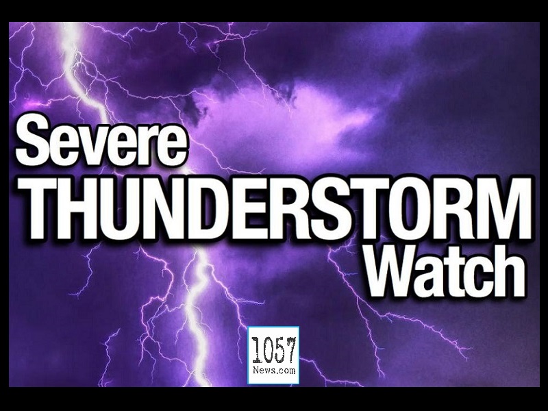
SEVERE THUNDERSTORM WATCH ISSUED FOR CUMBERLAND PLATEAU
The National Weather Service has issued a SEVERE THUNDERSTORM WATCH in effect now until 8 p.m. central time tonight (Sunday, May 3, 2020) for the following counties: CUMBERLAND, FENTRESS, PICKETT, OV ...

DENSE FOG ADVISORY ISSUED FOR PART OF COVERAGE AREA
The National Weather Service has issued a Dense Fog Advisory until 9 a.m. central time this morning (Monday, April 27, 2020) for the following counties: CUMBERLAND, MORGAN, FENTRESS, PICKETT, CLAY, O ...
MILD BUT WINDY FRIDAY
We are going to see one more morning with a chance of frost as temperatures drop into the upper 30s tonight and Friday morning. I think we will hit 70° Friday afternoon, it is looking good with partly ...
FREEZE WARNING ISSUED AGAIN FOR CUMBERLAND PLATEAU AREA
The National Weather Service has issued a freeze warning for the counties of Cumberland, Pickett, Clay, Putnam, Overton, Fentress and White. The warning goes into effect at 2 a.m. tomorrow morning (Th ...
FREEZE WARNING IN EFFECT FOR PART OF COVERAGE AREA
The National Weather Service has issued a FREEZE WARNING for the following counties from 3 a.m. until 7 a.m. Wednesday, April 15, 2020: CUMBERLAND, FENTRESS, PICKETT, OVERTON, PUTNAM, WHITE AND VAN B ...

NATIONAL WEATHER SERVICE: CROSSVILLE SETS RECORD DAILY RAINFALL AMOUNT
The National Weather Service says Crossville set a record daily rainfall of 4.17" yesterday (Sunday. April 12, 2020), breaking the previous record of 1.60" set on April 12, 1979. This was almost as mu ...
FLOOD ADVISORY ISSUED FOR EMORY RIVER INVOLVING MORGAN AND ROANE COUNTIES
The National Weather Service has issued a FLOOD ADVISORY for the Emory River at Oakdale affecting Morgan and Roane counties. Heavy rain by this evening will produce sharp rises on area rivers and stre ...
TWO ROUNDS OF SEVERE WEATHER LIKELY EASTER DAY FOR COVERAGE AREA
(This is an update to the severe weather story featured yesterday) The National Weather Service says severe thunderstorms with damaging winds of 60-75 m.p.h., large hail and a few tornadoes can be ex ...

WIND ADVISORY IN EFFECT FOR PART OF COVERAGE AREA
The National Weather Service has issued a WIND ADVISORY from 10 a.m. central time Sunday, April 12, 2020 until 7 a.m. Monday, April 13, 2020 for the following counties in the coverage area: CUMBERLAN ...